OUR GEOSPATIAL PORTFOLIO
Our Software Solutions
VibeGeo Technologies is the authorized reseller partner for world-leading geospatial software suites across India, SAARC countries, and the Asia-Pacific region.
OUR GEOSPATIAL PORTFOLIO
VibeGeo Technologies is the authorized reseller partner for world-leading geospatial software suites across India, SAARC countries, and the Asia-Pacific region.
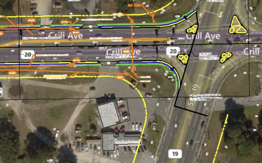
Powering infrastructure engineering. We supply and support world-leading solutions for structural analysis, road design, utility mapping, and 3D reality modeling.

The industry-standard software for LiDAR point cloud processing, calibration, classification, and DTM/3D feature extraction built directly on CAD platforms.
Professional photogrammetry and drone mapping software. Convert multi-spectral images into accurate 2D orthomosaics and highly precise 3D surface models.
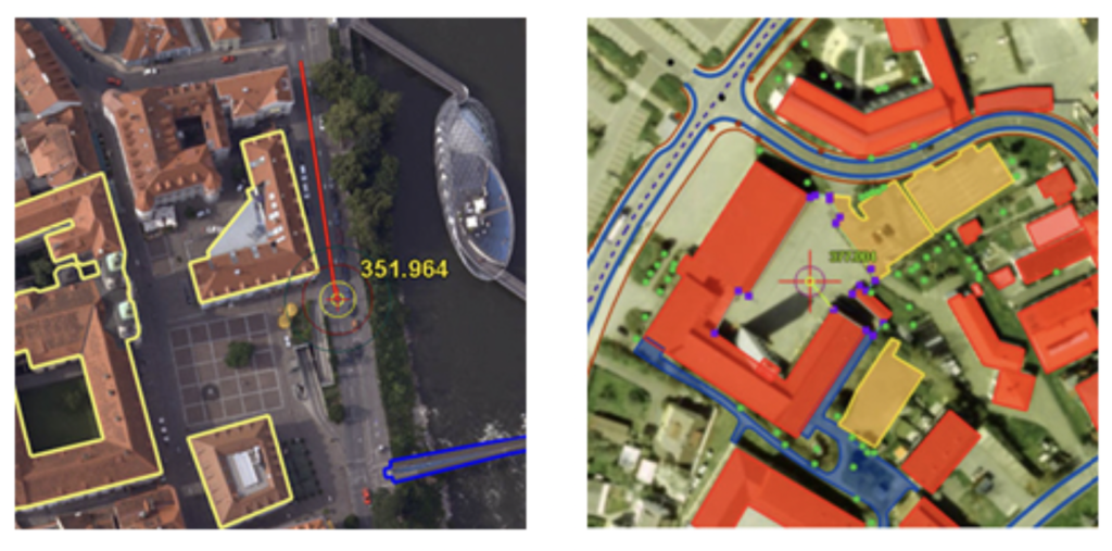
Elite stereoscopic 3D mapping and photogrammetry workstations, supporting high-precision vector feature extraction for GIS and CAD databases.

Daily high-resolution global satellite imagery and analytics, authorized in partnership with IN-SPACe for deep space monitoring and land coverage tracking.

Premium CAD-integrated point cloud processing software, optimizing features extraction and analysis workflows for infrastructure assets.