LiDAR Point Cloud Processing & Feature Extraction
Terrasolid is the industry-standard software suite for processing, calibrating, classifying, and extracting DTM and 3D features from point clouds and images collected by mobile and airborne mapping sensors.
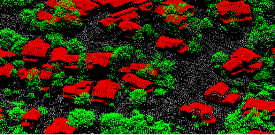
TerraScan
The main application in the family for managing and processing all types of point clouds. It offers campaign import, project structuring for handling billions of points, trajectory mapping, and advanced automatic filtering routines.
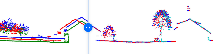
TerraMatch
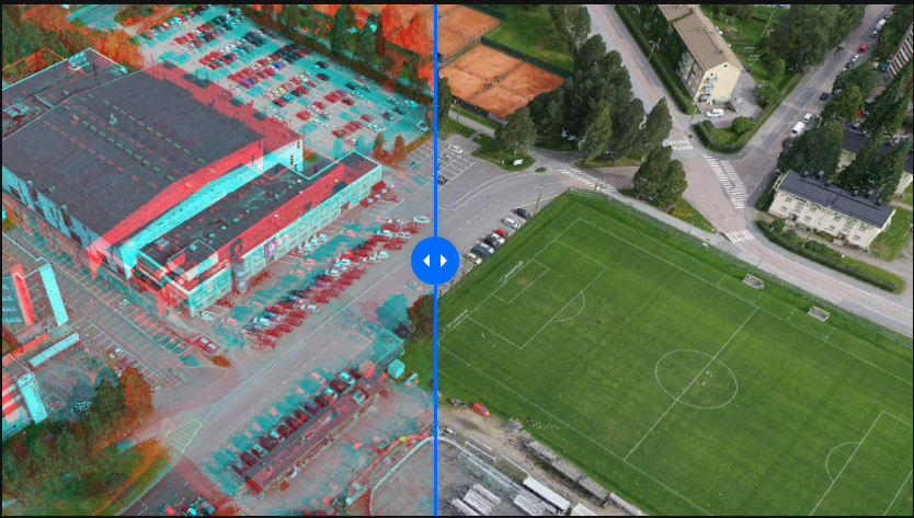
Improve the accuracy and quality of raw point clouds. TerraMatch compares overlapping flight or drive paths, calculating correction values for misalignment angles, trajectory offsets, and sensor errors.
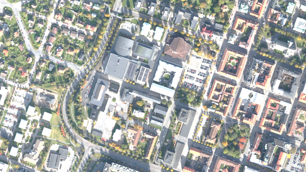
TerraPhoto
Specifically designed for processing images captured together with LiDAR scans. Produce rectified ortho-mosaics using the DTM extracted from point clouds, with tie-point absolute adjustments and vector building models.
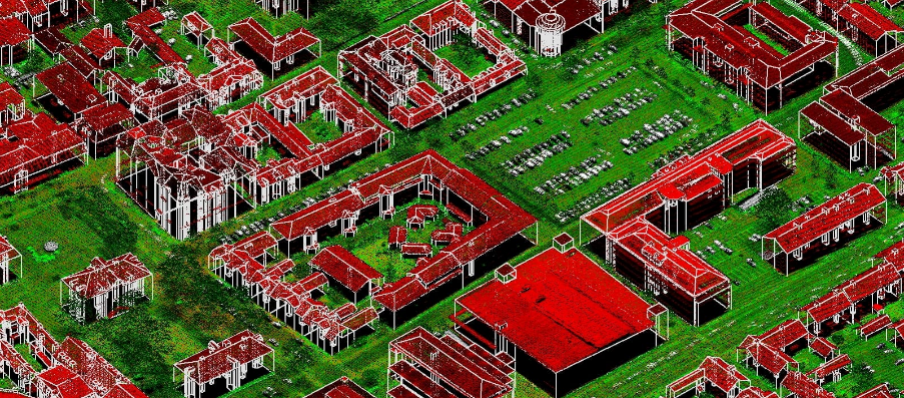
TerraModeler
Create, edit, and utilize surface models (TINs) from multiple sources including point clouds, breaklines, and graphical elements. The application offers versatile shading, contour generation, lattice profiles, and volume computations.
TerraStereo
High-performance stereoscopic point cloud rendering. Organizations can visualize up to 50 billion points dynamically, utilizing custom elevation shading, rendering intensities, and trajectory navigation guides.
TerraSurvey
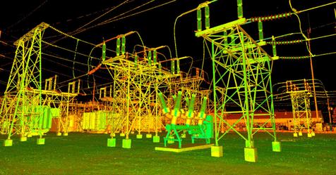
Process field surveying files collected by total stations and GPS rovers. Effortlessly convert text logs into 3D CAD design drawings with support for Trimble, Leica, and Sokkia coordinates and feature codes.