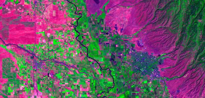
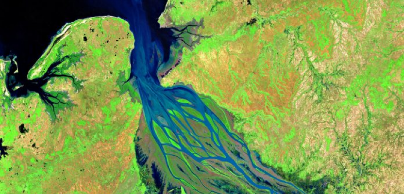
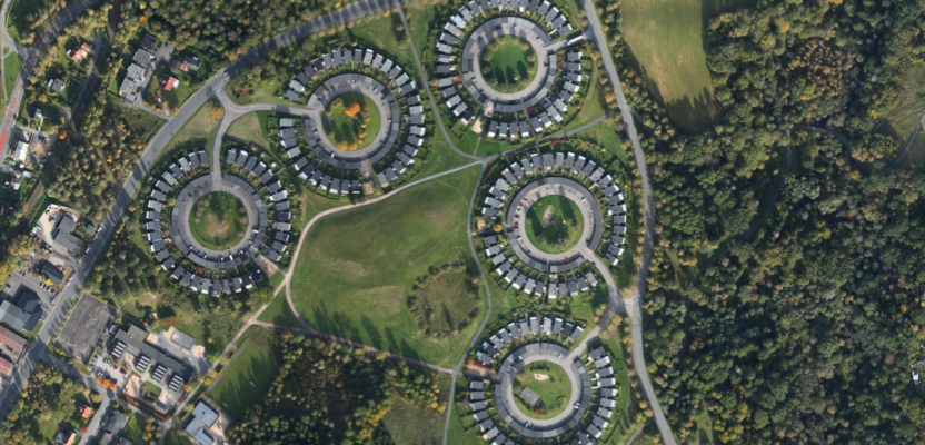
GEOGRAPHIC INFORMATION SYSTEMS

GIS Solutions

Delivering advanced spatial data management, cartographic analysis, and geographic intelligence solutions that empower organisations to make smarter, data-driven decisions about land, infrastructure, and environment.

SPATIAL DATA & MAPPING INTELLIGENCE

GIS Analysis & Mapping

VibeGeo provides end-to-end GIS solutions that integrate diverse spatial datasets β€” from satellite imagery and LiDAR point clouds to field surveys and open data sources β€” into powerful, insight-rich maps and analytical products for planning, environmental management, and infrastructure development.

Our GIS team specialises in building scalable geodatabases, automating spatial workflows with Python and ModelBuilder, and delivering high-quality cartographic outputs that communicate complex geographic information clearly and effectively to all stakeholders.

Spatial Analysis Geodatabase Design Web GIS Cartographic Output

CORE CAPABILITIES

Our GIS Services & Solutions

We offer a comprehensive suite of GIS services designed to transform raw spatial data into clear, actionable geographic intelligence.

πŸ—ΊοΈ

Cartographic Map Production

Designing and producing professional topographic, thematic, and planning maps for publication, reporting, and environmental assessments.

πŸ”

Spatial Analysis & Modelling

Performing proximity analysis, suitability modelling, network analysis, and overlay operations to support complex spatial decision making.

πŸ›’οΈ

Geodatabase Design & Management

Building structured, enterprise-ready geodatabases with feature classes, topologies, relationship classes, and version management for large teams.

🌐

Web GIS & Dashboard Development

Creating interactive web-based GIS portals and dashboards using ArcGIS Online, QGIS Server, and open-source WebGL mapping frameworks.

πŸ“

Land Use & Zoning Analysis

Classifying and mapping land use categories, zoning boundaries, and planning constraints for regional and local authorities.

πŸ›°οΈ

Remote Sensing Integration

Fusing satellite imagery, LiDAR, and UAV data into GIS workflows for change detection, vegetation mapping, and terrain analysis.

βš™οΈ

GIS Automation & Scripting

Automating repetitive spatial processing workflows using Python (ArcPy / PyQGIS), FME, and custom geoprocessing tools and models.

πŸ“Š

Environmental Impact Mapping

Producing spatial datasets and maps for Environmental Impact Assessments (EIA), ecological surveys, habitat mapping, and conservation planning.

Need a Custom GIS Solution?

Connect with our GIS experts to design a tailored spatial analysis, mapping, or geodatabase solution for your specific requirements.

Talk to an Expert