Professional Drone Mapping & Photogrammetry
Explore Pix4D’s core software products designed for accurate, geo-referenced maps and 3D models.
PIX4Dmapper
The leading photogrammetry software for professional drone mapping.
Transform your images into survey-grade accurate and georeferenced orthomosaics, point clouds, 2D maps, and 3D models.
Point Clouds
3D Models

PIX4Dmatic
Next-generation photogrammetry software for fast & accurate large-scale mapping.
Leverage the power of both photogrammetry and terrestrial LiDAR in the same application for terrestrial, corridor, and large scale mapping workflows.
Corridor Mapping
Large Scale
PIX4Dfields
Advanced aerial crop analysis & precision agriculture mapping.
Generate precise crop health maps and analyze multispectral data to optimize agricultural yield.
Multispectral
Yield Optimization

PIX4Dreact
Fast 2D mapping software for emergency response and public safety.
Create 2D maps from aerial imagery in minutes for rapid situational awareness.
Situational Awareness

PIX4Dengine SDK
Enterprise-scale automated photogrammetry pipeline.
Integrate Pix4D’s core processing algorithms into your own applications and workflows.
Automation
Custom Workflows
Collaborative Mapping & Site Tracking

PIX4Dcloud
Online platform for drone mapping, progress tracking, and site documentation.
Process, analyze, and share your site data online, ensuring project stakeholders are always up to date.
Site Documentation
Collaboration
Vectorizing Point Clouds to CAD

PIX4Dsurvey
Bridge the gap between photogrammetry & CAD.
Extract relevant information from point clouds to create CAD-ready deliverables.
Point Cloud Vectorization
Ground Scanning Solutions

PIX4Dcatch
Mobile terrestrial 3D scanning app with LiDAR.
Turn your smartphone into a professional 3D scanner, capturing ground data with ease.
LiDAR
Mobile App
Professional RTK Hardware
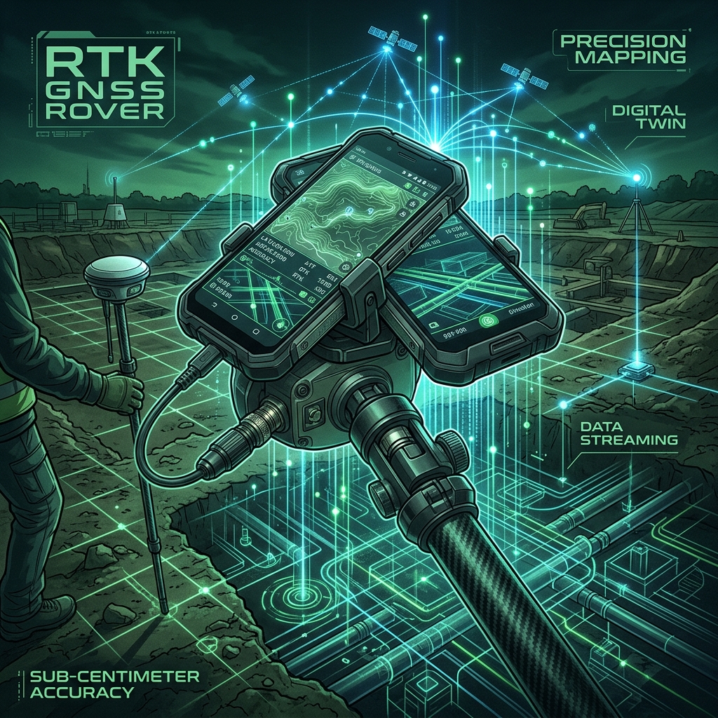
viDoc RTK Rover
Professional ground scanning hardware for mobile phones.
Achieve centimeter-level precision with your mobile scans using this professional RTK antenna.
RTK Antenna
Professional Accuracy