AUTHORIZED RESELLER — INDIA
Bentley Software Suite
Authorized distributor of industry-leading solutions for structural analysis, road design, utility mapping, and 3D reality modeling.
Bentley’s advanced CAD, BIM, and reality modeling solutions enable infrastructure professionals to design, construct, and operate roads, bridges, transit systems, and water utilities with unparalleled precision.
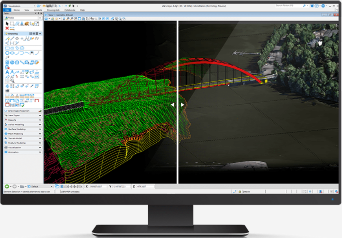
The standard CAD software that can handle the massive scale demanded by infrastructure projects. Use MicroStation to generate efficient 2D and 3D drawings for any size dataset with timeless DGN stability.
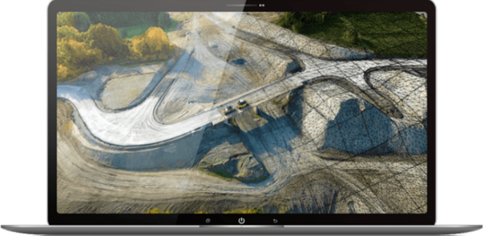
Produce even the most challenging 3D models of existing conditions for infrastructure projects of all types, derived from simple photographs and/or point clouds. Accelerate photogrammetry and LiDAR processing using integrated cloud services.
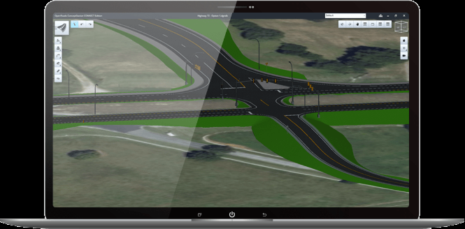
Reduce complexity and accelerate roadway workflows with plan and construction documentation, surveying, stormwater design, geotechnical analysis, and underground utilities—all in a single comprehensive application.
Information-rich civil modeling integrated with CAD, mapping, and GIS. Power GEOPAK enables civil engineering professionals to create intelligent models for roads, highways, rail networks, and environmental land development.
VibeGeo Technologies also supports and distributes other elite Bentley software solutions to facilitate cross-disciplinary engineering excellence.