Stereoscopic 3D Mapping & Photogrammetry
DAT/EM Systems develops state-of-the-art applications for extracting 3D features and vector data from stereo pairs, orthomosaics, and extremely large terrain point clouds.
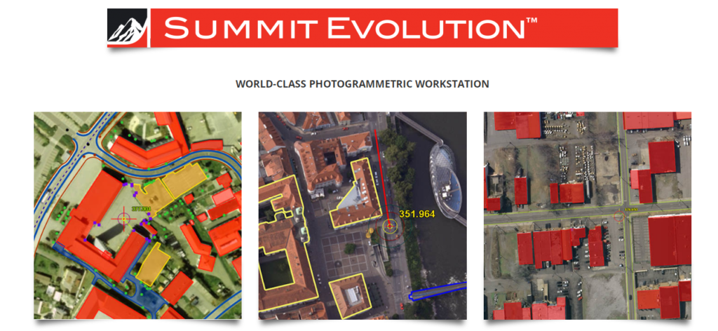
Summit Evolution
Summit Evolution provides a set of powerful tools for discovering and capturing 3D information from stereo data. Through the Capture™ interface, image features are digitized directly into AutoCAD®, MicroStation®, ArcGIS® or Global Mapper®. With DAT/EM SuperImposition™, those image features are overlaid on the Summit Evolution project for immediate feature verification.
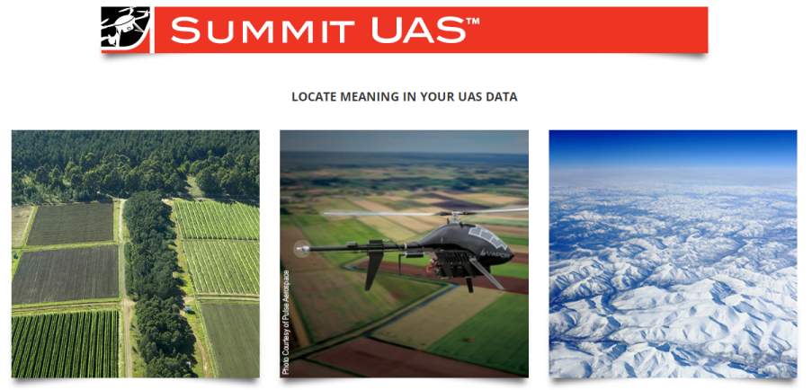
Summit UAS
Summit UAS is a specialized post-processing toolkit consisting of Summit Evolution Lite and LandScape. The integrated environment enables simultaneous viewing of point clouds superimposed over stereo pairs or orthophotos, perfect for targeted digitizing and 3D vector editing tasks.
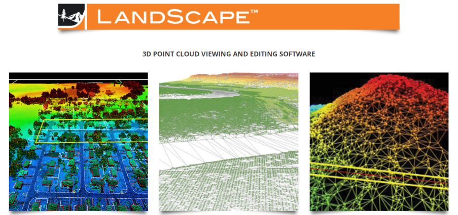
LandScape
Operate on very large terrain point clouds derived from LiDAR or SfM. Operators can view, modify, and classify points, as well as draw vectors superimposed over a Summit Evolution imagery project. Enhances point editing on a massive scale utilizing sophisticated filtering and classification tools.
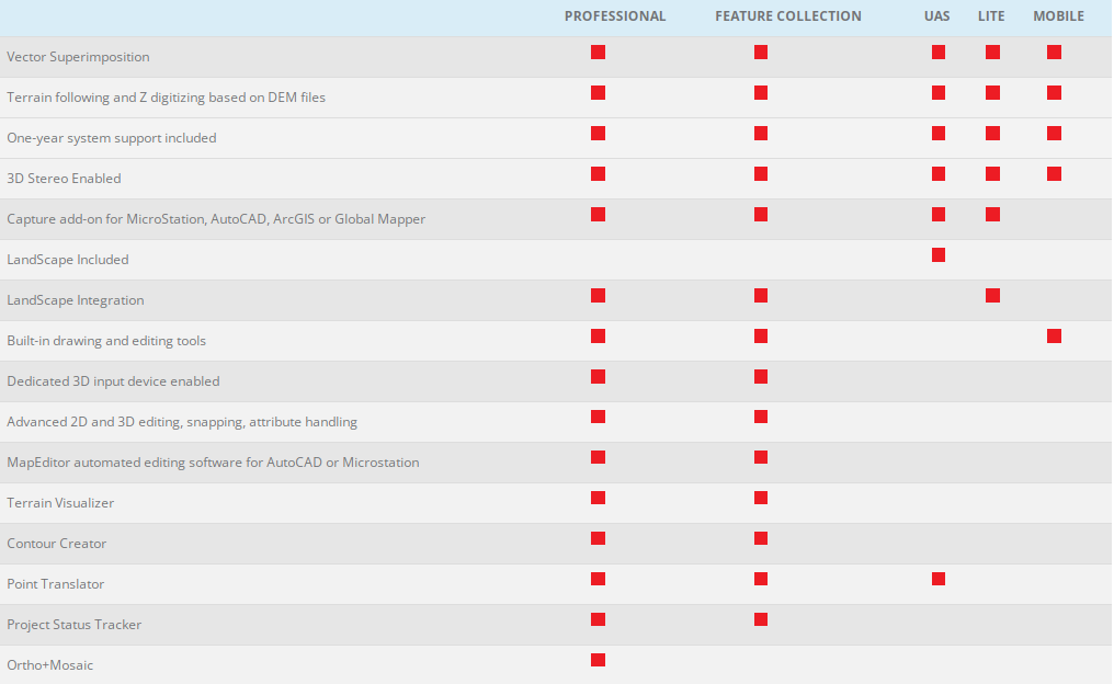
Summit Evolution & LandScape Comparison
Summit Evolution and LandScape are available in multiple highly configurable levels, allowing you to tailormake your stereoscopic and 3D point cloud workflows.